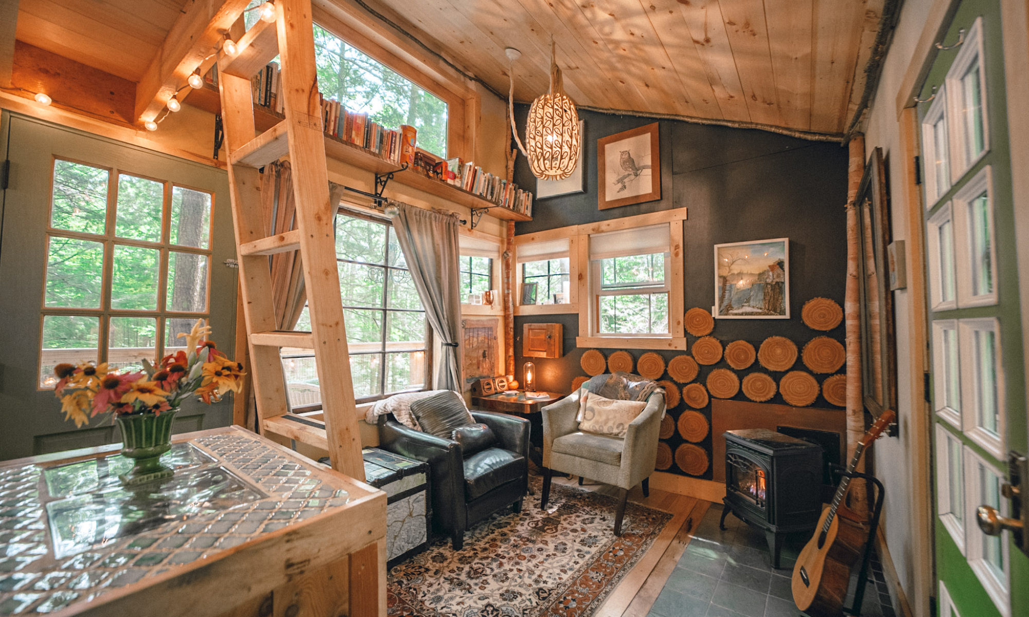
Vermont has endless beauty, and that includes short distances from the Treehouse steps!
***Important*** The Nichols Ledge Trail is closed until August 1st to protect the nesting Peregrine Falcons. Do not hike this trail until then. Thank you!
Hike from Stone City Treehouse to Nichols Pond – Just up the road about a mile, even within hiking distance, Nichols Pond is a beautiful gem. There are no motorized boats allowed so take the kayaks down. Launch the kayak from the dam parking area for a relaxing float and great fishing, or cross over the dam and follow the path along the edge of the lake to find a quiet private place to swim. Keep an eye open for loons!
To get there, take a right out of the driveway, in about 1/8 mile, go right where the road splits. Then continue for about a half-mile and go right onto Nichols Dam road. This road looks like a private road, but it’s not. Go down to the end and there’s parking. Be aware, sometimes the road can be very rough and sometimes it’s hard to find parking and the dam area can be a bit of a party spot.
Here is a map of the walk! – the round-trip hike is 2.6 miles and is about 20-25 minutes each way.
Hike from Stone City Treehouse to Nichols Ledge – to get to Nichols Ledge, go past Nichols Dam road and go all the way to the top of the hill. There’s a small parking area on your right at the top and the trail is right there.
It’s a relatively short, but steep hike – if you’re in decent shape it will take you about 15 minutes. BUT, be aware that this trail is open only from August until mid-March because there are Peregrine Falcons nesting on the cliffs! The pictures you see in the link are mostly from the ledge. A truly beautiful spot!
Here is a map of this hike! – the round-trip hike is 4.2 miles and about 45 minutes each way.
You can also continue on the road past the trailhead for Nichols Ledge and get to Coits Pond.
In the winter you cannot drive directly from the treehouse to the Nichols Ledge parking area because the road becomes a VAST snowmobile trail (definitely don’t drive on it – you will likely get stuck and will need to find a tractor to pull you out). If you decide to drive all the way around in the winter to park at the bottom of the trail, rather than hiking from the treehouse, check out this map on how to get there.
The VAST Snowmobile trails also run right through our property, and we’ve been cross-country skiing to Nichols Pond on them! Here’s our track! If you do this, just really keep a close ear open for snowmobiles and move to the side of the trail when they go by.


And, the Lamoille Valley Rail Trail is being developed through Hardwick right now!
Other hikes close by…
Barr Hill, Greensboro, VT – a Nature Conservancy property about 20 minutes away, and the namesake of Barr Hill Gin, there are easy, short hikes with beautiful views.
Hardwick Trails, Hardwick, VT – Access is behind Hazen Union High School, there are trails of varying lengths for hiking and biking, periodic guided hikes, and the trails are groomed for cross country skiing and snowshoeing in the winter.
Cheever’s Falls, Walden, VT – beautiful, local waterfall you reach with a short hike.


